
Kaelor Labs
Intelligencefor thephysical world.
Kaelor Labs builds AI-native systems that help autonomous machines understand environments, reason through complex conditions, and execute real-world missions.
Hold & drag
System
SYS / INITIALIZING
Objective
Mission / 0042
Inspect four structures. Maintain clearance. Avoid restricted zones.
Trajectory
Thesis
The next generation of AI won’t live only on screens.
It will move through the world.
01 / Philosophy
Perceive. Reason. Act.
Machines need context before they can act. Terrain, structures, objects, and constraints have to become a model the system can use.
02 / Kaelor Labs stack
From world to intelligence to action.
01 / world
Real world
- Terrain
- Buildings
- Assets
- Weather
- Objects
- People
02 / spatial
Spatial intelligence
- 3D world
- Maps
- Sensors
- Context
- Environment model
03 / mission
Mission intelligence
- Reasoning
- Planning
- Simulation
- Constraints
- Optimization
04 / action
Autonomous action
- Machines
- Agents
- Operations
- Feedback
03 / What we build
Systems designed for the real world.
01 / Spatial Intelligence
Spatial Intelligence
Give machines a richer understanding of the environments they operate in.
02 / Mission Intelligence
Mission Intelligence
Transform objectives, constraints, and environmental context into executable plans.
03 / Autonomous Operations
Autonomous Operations
Connect perception, reasoning, planning, and action into continuously adapting systems.
04 / First mission
Our first mission.
MissionSmith
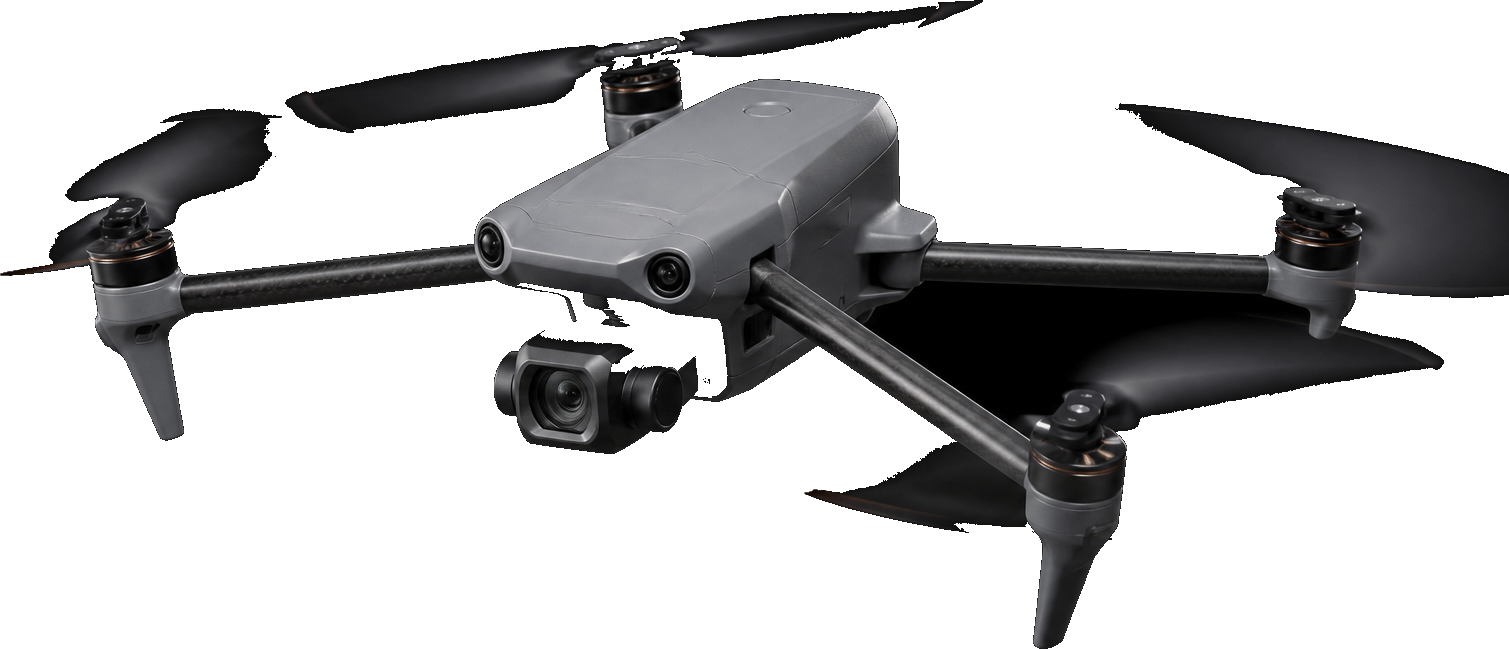
AI mission planning for professional drone operations.
MissionSmith gives professional drone operators an intelligent workspace to plan, validate, and prepare complex missions using spatial context, operational constraints, and AI-assisted reasoning.
Kaelor Labs technology, applied.
Workspace / MissionSmith
Ready
Diagram. Not a flown mission.
Buildings
142
Road segments
87
Obstacles
31
Airspace zones
12
05 / Research
We build at the edge of what machines can understand.
Our research explores the intersection of AI, spatial computing, autonomous systems, simulation, and real-world decision making.
- Spatial AI
01
- Agentic Planning
02
- 3D World Models
03
- Simulation
04
- Human + Autonomous Collaboration
05
Notes from the work
All notesNotes will appear here as we publish them.
06 / Why Kaelor Labs
AI understands language.
Machines understand motion.
The physical world requires both.
Kaelor Labs exists to bridge the gap between intelligent software and physical action.
Facts
What Kaelor Labs is.
- What is Kaelor Labs?
- Kaelor Labs builds AI-native systems that help autonomous machines understand environments, reason through complex conditions, and execute real-world missions. It is the parent company behind MissionSmith.
- What is MissionSmith?
- MissionSmith is Kaelor Labs’ first commercial product: AI mission planning for professional drone operations. Product features, pricing, and operator tools live on missionsmith.ai.
- Is Kaelor Labs a drone company?
- No. Drones are the first application, not the whole company. Kaelor Labs works on spatial intelligence, mission intelligence, and autonomous operations for machines in the physical world.
- How are Kaelor Labs and MissionSmith related?
- Kaelor Labs is the company, technology, and research. MissionSmith is the first product that applies that work to professional drone operations.
07 / Build
We’re building the intelligence layer for autonomous systems.
Starting with drones. Building toward machines that can understand and operate in the world.